.svg)
.svg)
From LiDAR to Operational Intelligence: Forsite's Large-Scale Forest Inventory Program in Alberta
Forsite is a leader in translating large-scale LiDAR captures into operational forest inventories and turning raw remote sensing data into detailed, actionable intelligence across millions of hectares. In Alberta, that capability is being demonstrated at a scale that sets a new benchmark for what's possible.
Introduction
Collecting LiDAR data is one thing. Turning it into an inventory that forest managers can use operationally, strategically, at landscape scale, is another challenge entirely. It requires technical expertise, proven methodology, collaborative relationships with industry clients, and the organizational capacity to deliver consistently across millions of hectares.
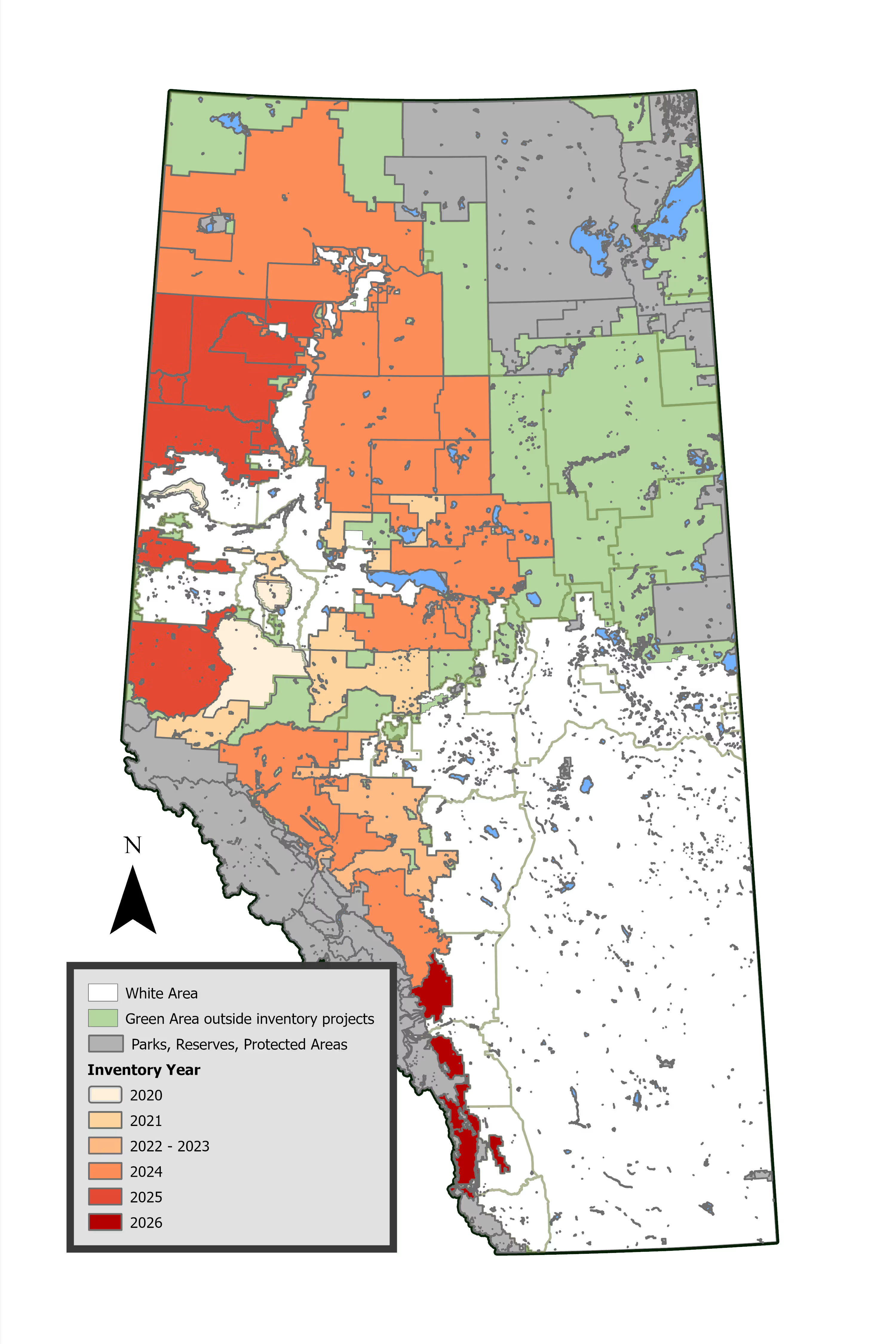
Forsite has built that capability over years of large-scale LiDAR-informed inventory work. In Alberta alone since 2019, Forsite has successfully delivered LiDAR-informed forest inventory projects across 14.9 million hectares, with coverage expected to grow to 18.9 million hectares by October 2026.
Key Takeaways:
- 14.9 million ha of LiDAR-informed forest inventory successfully delivered in Alberta to date
- Coverage projected to reach 18.9 million ha by October 2026
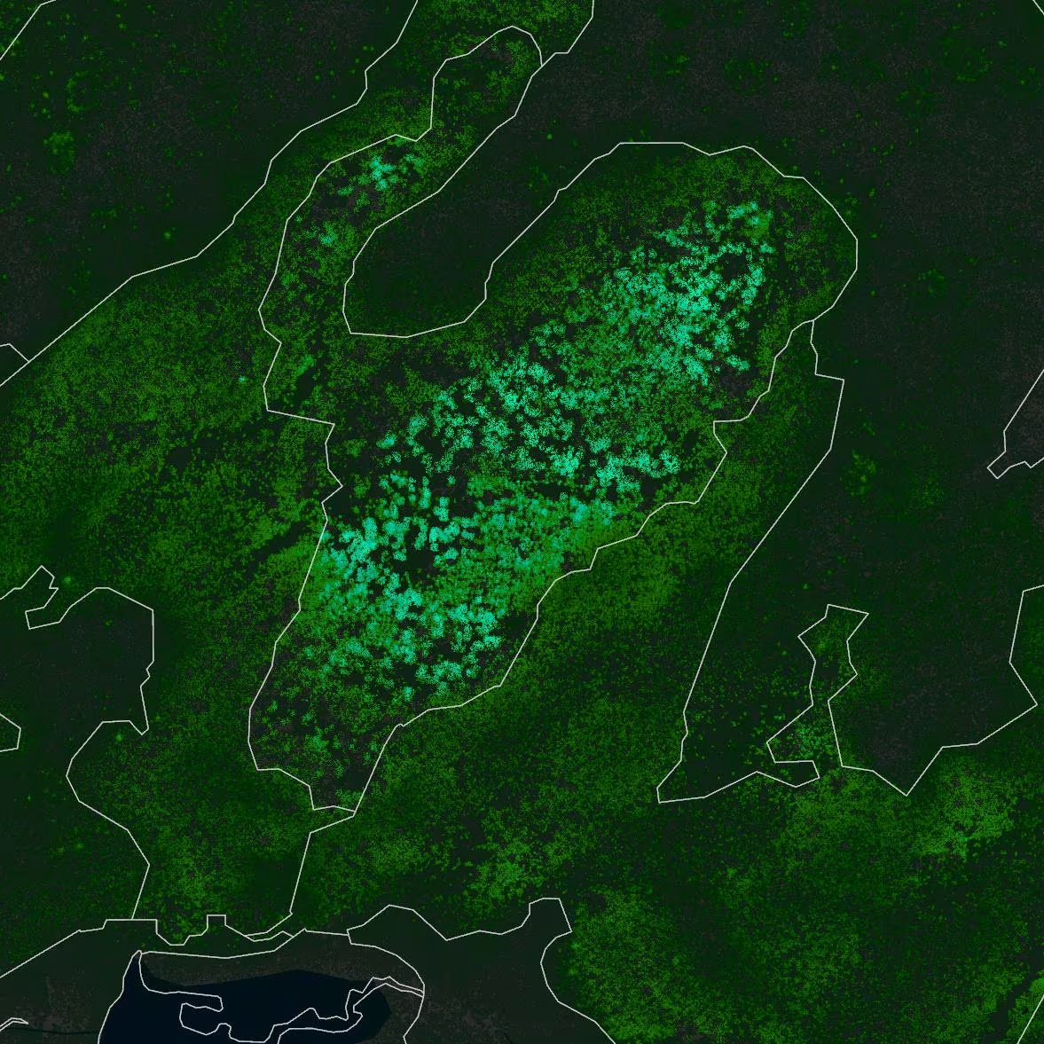
- Individual Tree Inventory (ITI) of billions of trees with each assigned a species, height, diameter, log products, and volumes
- Hybrid (HEX) area-based inventory product that is a tile based (400 m2) inventory with fully attributed tree lists
- LiDAR + high-resolution imagery as the technological foundation
- Inventories that support forest planning, wildlife habitat analysis, fuels analysis, and more
- 19 primary forest industry clients
A Shared Investment in Forest Inventory Quality
In Alberta, LiDAR and imagery acquisition and subsequent completion of ITI and HEX inventories have all been funded through FRIAA's Forest Resource Improvement Program, reflecting a broad industry commitment to improving the quality and resolution of Alberta's forest inventory data.
The Power of LiDAR: Creating Enhanced Forest Inventories
LiDAR data provides direct, objective measurements of stand height, canopy closure, and vertical stand structure. From this information, it is possible to predict other important forest inventory attributes useful to operational forestry, including merchantable volume, stems per hectare, log products, and stem diameters.
Because LiDAR provides wall-to-wall measurements of the forest canopy across the surveyed landbase, it is possible to generate forest inventory information products at a much finer scale than is available from conventional forest inventories. Forsite’s approach is fundamentally bottom-up: metrics are measured and predicted first at the individual tree level. The individual tree process captures height, canopy characteristics, and species from the LiDAR. From those inputs, diameter at breast height (DBH) is estimated and volume is calculated. Once data exists at the single-tree level, it can be rolled up to larger reporting units and used for statistical adjustments across the landbase through the hybrid process.
Making LiDAR Operational: The Forsite Approach
Capturing LiDAR across a landscape is a significant undertaking, but the real value lies in what you do with it. At the heart of Forsite's approach is the integration of large-scale LiDAR (Light Detection and Ranging) data with high-resolution aerial imagery, combined with the analytical methodology to turn that raw data into inventory products that are detailed, statistically defensible, and ready for operational use.
The workflow proceeds in two stages:
1. Individual Tree Inventory (ITI): Every detectable tree is extracted from the LiDAR data, with attributes including species, height, diameter at breast height (DBH), basal area, and gross/merchantable/log volumes.
2. Hybrid Inventory (HEX): The ITI product is then combined with ground plot data and additional predictive attributes to produce a highly detailed, statistically supported tile-based inventory at a 400 m² resolution.
Each tile contains a fully attributed tree list, enabling virtually any summary statistic to be generated. Crucially, the inventory can also be grown forward using models such as MGM (Mixedwood Growth Model), making it a living data asset rather than a static snapshot.
"The foundation of Forsite's tree list is the actual set of trees that were extracted from the LiDAR in that area; any missing or extra trees are then added or removed through the statistical adjustment process."
This approach requires fewer ground plots than traditional methods while delivering more accurate tree lists than those predicted from cell-level statistics alone.
ForestView®’s Tree ID Technology
The Individual Tree Inventory is created using the Tree ID suite of tools, a proprietary system comprised of machine learning and remote sensing modules custom-built to identify and attribute individual trees using LiDAR data.
Segmentation: From Point Cloud to Individual Trees
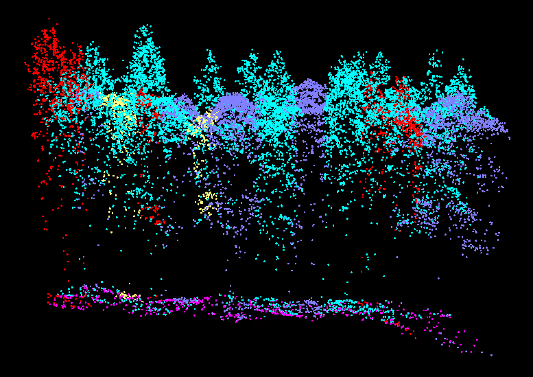
To conduct the species identification analysis phase, Forsite first segments each tree from the LiDAR point cloud. The segmentation parameters are selected based on a variety of stand characteristics, including density and regional attributes.
The segmentation approach blends multiple techniques, ranging from classic watershed methods to point-finding routines, to reliably isolate individual trees across diverse forest conditions.
Ground-Truthing: The Field Crew Behind the Data
No remote sensing product is complete without rigorous field validation. Forsite's Alberta’s team, supported by field crews from Saskatchewan and Northern BC, collected ground-truth plot data across all project areas to ensure the highest quality inventory outputs.
What's Collected in Each Plot
The landbase for each project area is stratified, with sample plots located within all strata. Each plot is 11.28 m radius (400 m²) and captures:
| Data Type | Details |
|---|---|
| GPS Plot Center | Submeter accuracy |
| Directional Photos | 8 directions: N, NE, E, SE, S, SW, W, NW |
| Tree Species | All live and dead trees over 5 m |
| Tree Height | Measured for each qualifying tree |
| Diameter Breast Height (DBH) | Measured for each qualifying tree |
| Live/Dead Status | Recorded per tree |
| Crown Class | Recorded per tree |
| Tree Status & Defects | Recorded per tree |
| Age | Recorded per tree |
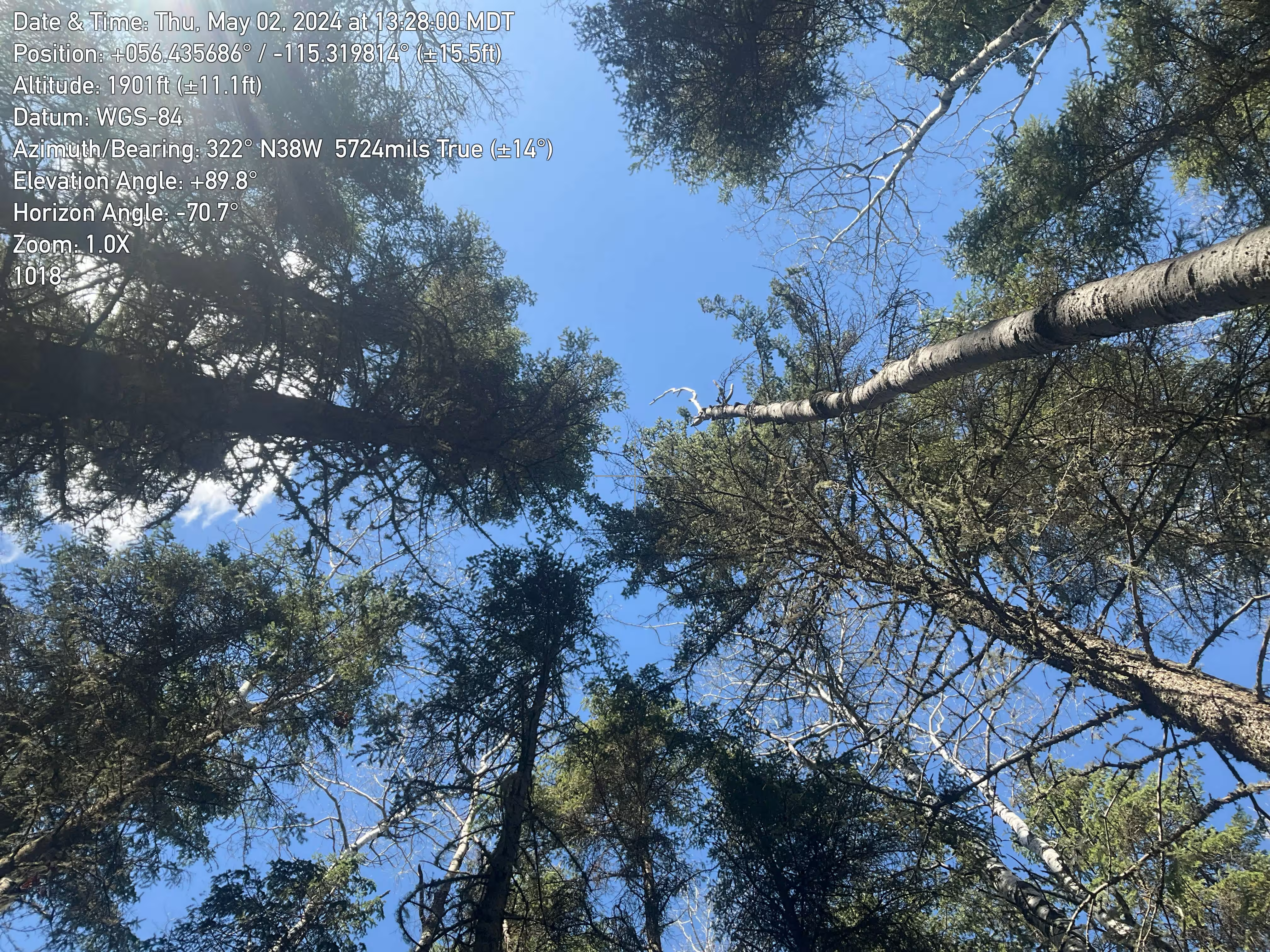
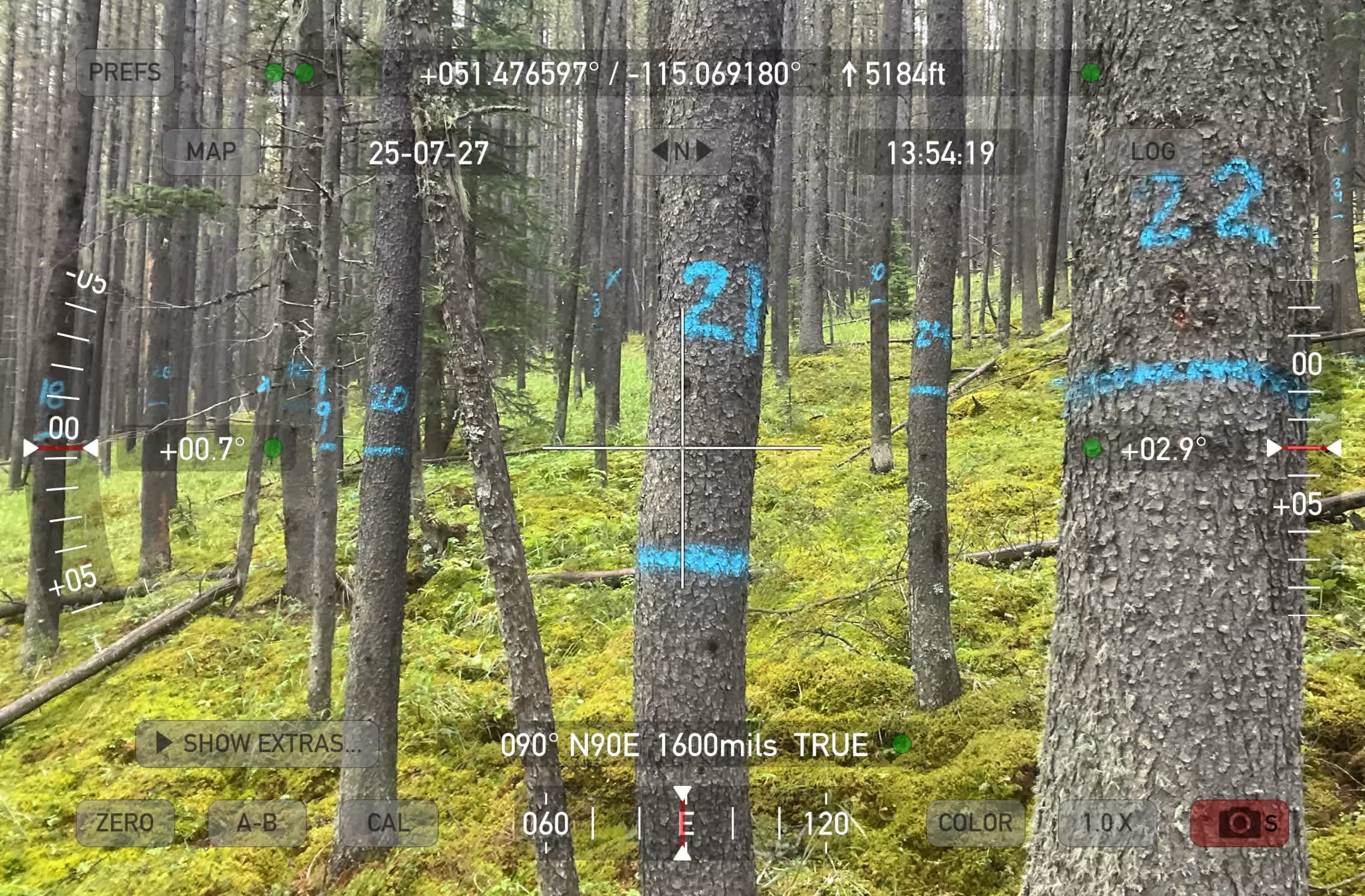
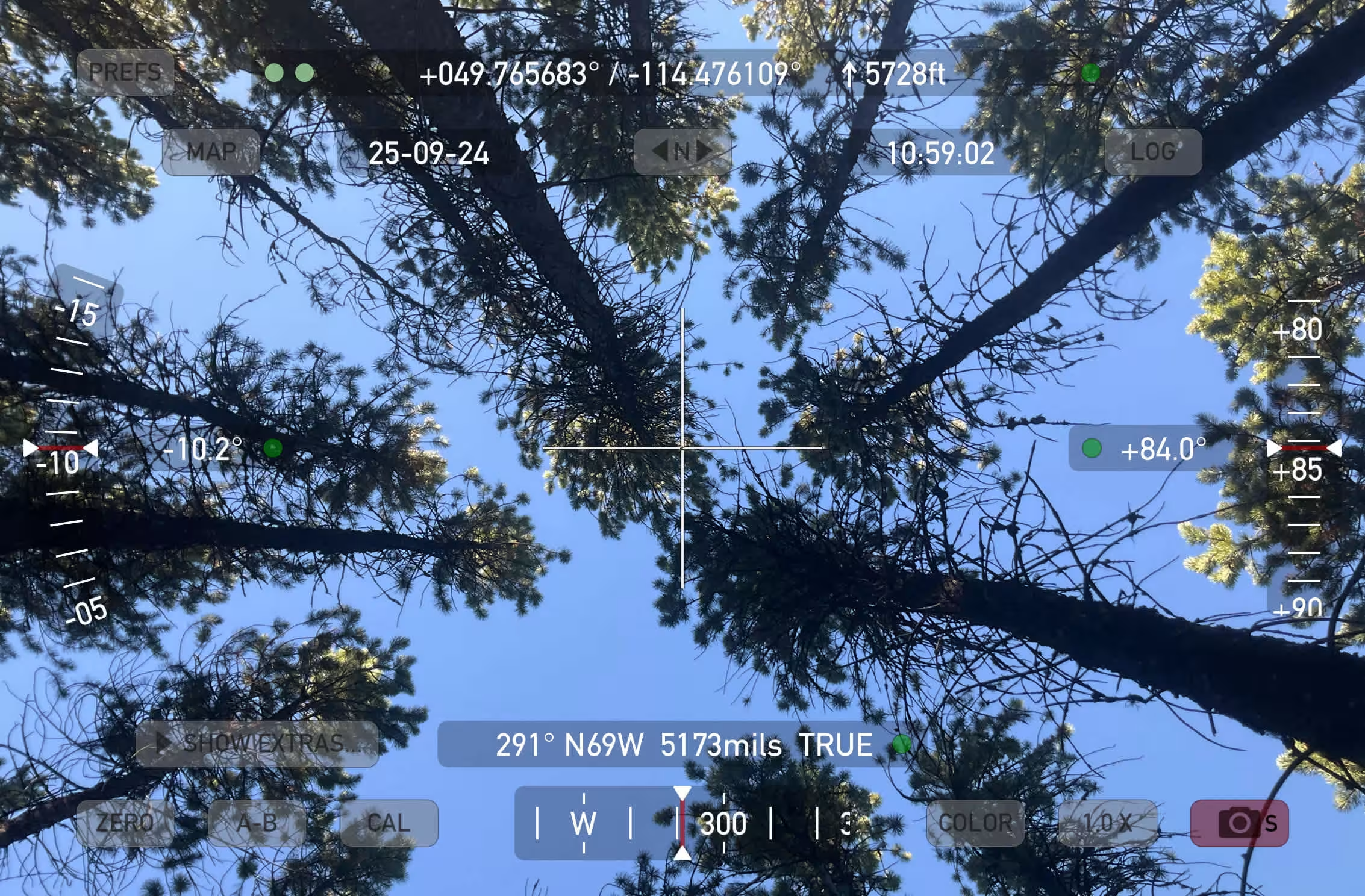
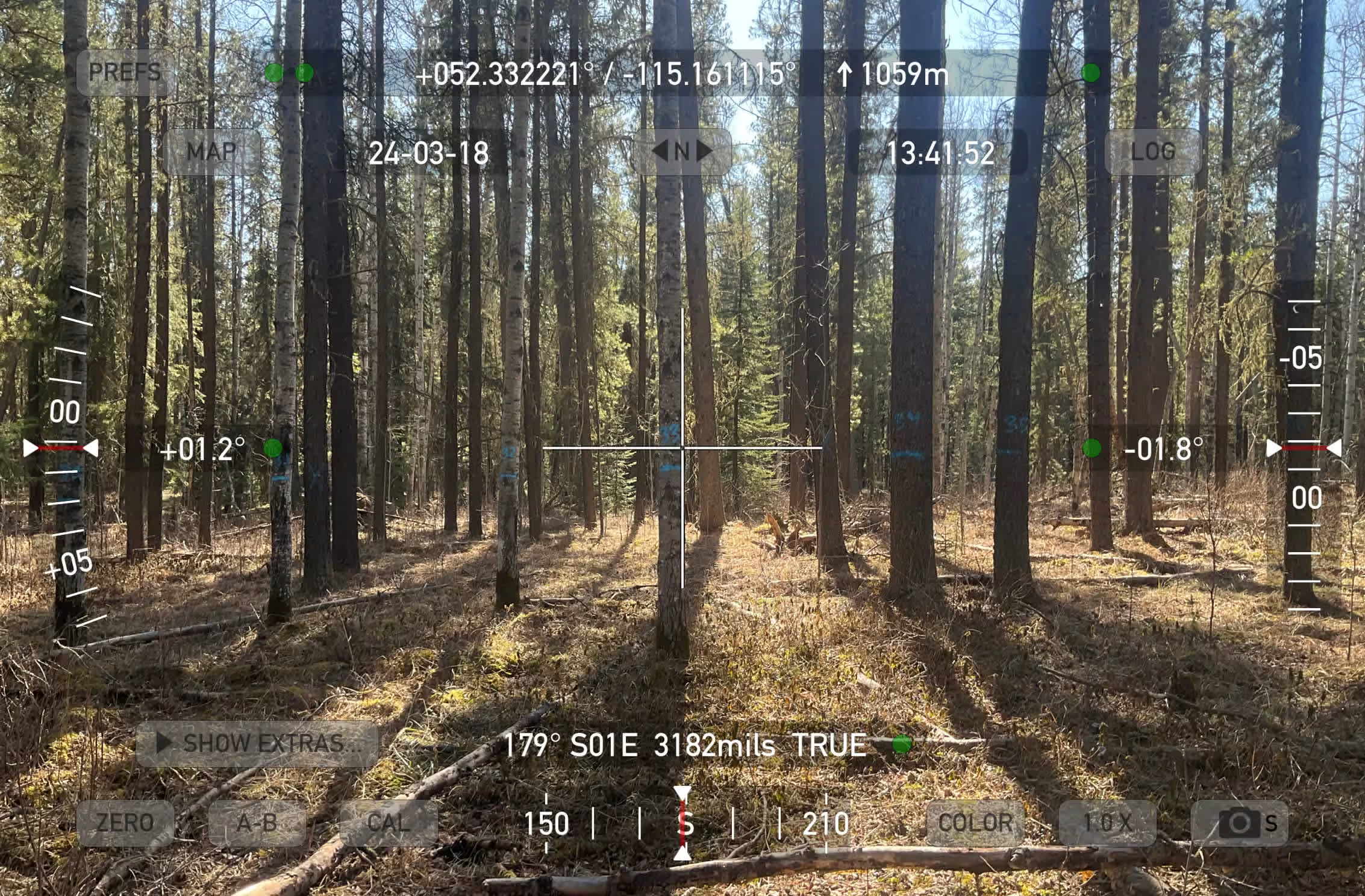
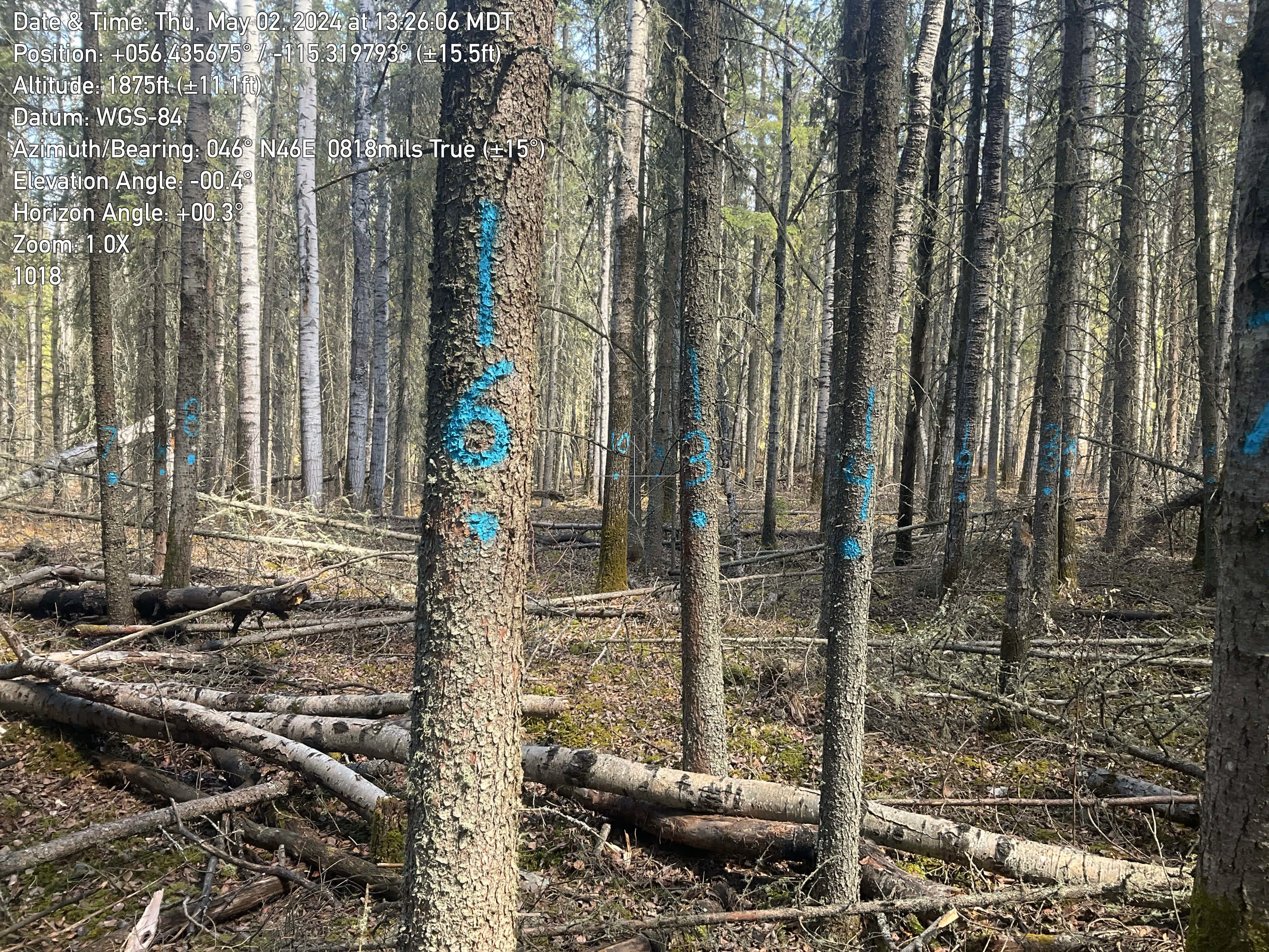
This rigorous, standardized approach ensures the statistical reliability of the final inventory products and supports the confidence needed for operational and strategic decision-making.
What Can Be Done With This Data?
The resulting inventory products are intentionally data-rich and multi-purpose. Clients and stakeholders can apply them across a wide range of disciplines:
- Forest Operational Planning: optimize harvest scheduling and access planning
- Strategic Forest Plans: long-term landbase management and sustainability reporting
- Wildlife Habitat Analyses: model and map habitat suitability at fine spatial scales
- Planned Mill Log Deliveries: forecast timber supply with greater confidence
- Forest Fuels Analysis: assess wildfire risk and inform fuel management strategies
- Commercial Thinning Planning: identify stands and prescribe silvicultural treatments
Because the inventory can be grown forward with models like MGM, its value compounds over time, making it a long-term strategic asset for all project sponsors.
Conclusion
Alberta's enhanced forest inventory projects mark a significant industry-driven advancement, expanding the scale of data collection while substantially raising its sophistication. By combining LiDAR-derived individual tree data with statistically rigorous field validation and tile-based modeling, Forsite is delivering an inventory product that is more detailed, more accurate, and more versatile than anything previously available across this land base.
With 18.9 million hectares set to be completed by end of 2026 this sets a new benchmark for what's possible in Canadian forest inventory, and demonstrates what can be achieved when industry, technology, and field expertise come together.
Want to learn how Forsite can strengthen your utility's wildfire risk management program?
FAQ:
#1
Question: What does ITI stand for, and what does it produce?
Answer: ITI stands for Individual Tree Inventory. It uses LiDAR and high-resolution imagery to characterize every detectable tree > 5m tall on the land base, producing attributes such as species, height, DBH, basal area, and volume estimates.
#2
Question: What is a Hybrid (HEX) Inventory?
Answer: A HEX inventory combines the ITI product with ground plot data and predictive attributes to create a tile-based inventory with fully attributed tree lists, validated through statistical methods.
#3
Question: What is Tree ID and how does it work?
Answer: Tree ID is a suite of tools in Forsite’s ForestView® solution which combines machine learning and remote sensing modules to identify and attribute individual trees from LiDAR data. It performs tree segmentation, species classification, and attribute prediction, forming the foundation of the ITI product.
#4
Question: How is the inventory validated in the field?
Answer: Field crews collect data within 400 m² (11.28 m radius) sample plots, recording species, height, DBH, crown class, defects, age, and GPS-referenced photos in eight cardinal and intercardinal directions.
#5
Question: Can the inventory data be used for future forest projections?
Answer: Yes. The tile-based tree lists are compatible with growth models such as MGM, allowing the inventory to be grown forward and used for long-term strategic planning.
#6
Question: What types of organizations benefit from this kind of inventory?
Answer: Any organization responsible for managing, planning, or operating within a forested landbase stands to benefit. This includes timber companies, pulp and paper producers, forest management contractors, government agencies, and conservation organizations. The data supports a wide range of needs, from harvest scheduling and mill supply planning to wildlife habitat assessment and wildfire risk management, making it a valuable resource across both commercial and public interest sectors.
.avif)
.png)