.svg)
Mining & Exploration
High-Accuracy LiDAR, Wildfire Risk Intelligence, and Mitigation for Safer, Smarter Operations
From exploration targeting to operational safety, Forsite supports mining and resource projects across remote, complex, and climate-exposed terrain. We deliver geological structure mapping, wildfire risk management, LiDAR, high-resolution imagery, and geohazard monitoring to protect infrastructure and maintain business continuity.
Proven in the Field
Proven Geospatial and Wildfire Intelligence
Our fleet capacity, LiDAR expertise, and wildfire specialists provide a uniquely comprehensive data foundation — supporting engineering, emergency planning, and hazard reduction.
1.9M
sq mi
Total LiDAR collected since 2004, with portions supporting resource exploration, mine design, terrain modeling, and change detection
100,000
sq mi/year
Total annual processing throughput
180
Community Wildfire Plans completed
From Canopy to Closure: LiDAR's Role in Modern Exploration & Mining
Accurate ground points under canopy to combine with geophysics, magnetic and geological mapping to support brownfield and greenfield exploration.
Geospatial decision-support solutions including ground surface models with vegetation and structures removed
Hydrological routing models identifying drainage networks, catchment areas, and water flow paths critical for tailings pond design, acid rock drainage risk and permitting
Multi-temporal LiDAR comparisons to measure ground movement, subsidence, stockpile volumes, tailings pond expansion, and progressive slope failure over time
Identification of landslide-prone terrain, avalanche paths, erosion risk, unstable slopes, and tailings flow accumulation zones to support safety planning and regulatory compliance
Enabling Total Operational Resiliency
Our wildfire and geospatial specialists design mitigation measures that prioritize worker safety and business continuity and enhance long-term operational resilience.
Vegetation management, site preparation, and infrastructure adaptation — defensible space and material selection
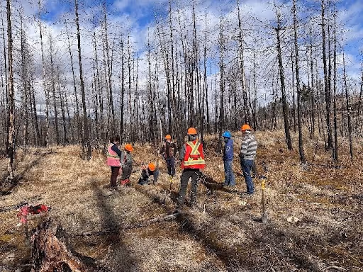
Worker training in emergency response and basic wildfire suppression
Operational support during fire season, including live monitoring and on-site advisory services
Equipment recommendations and procurement sourcing
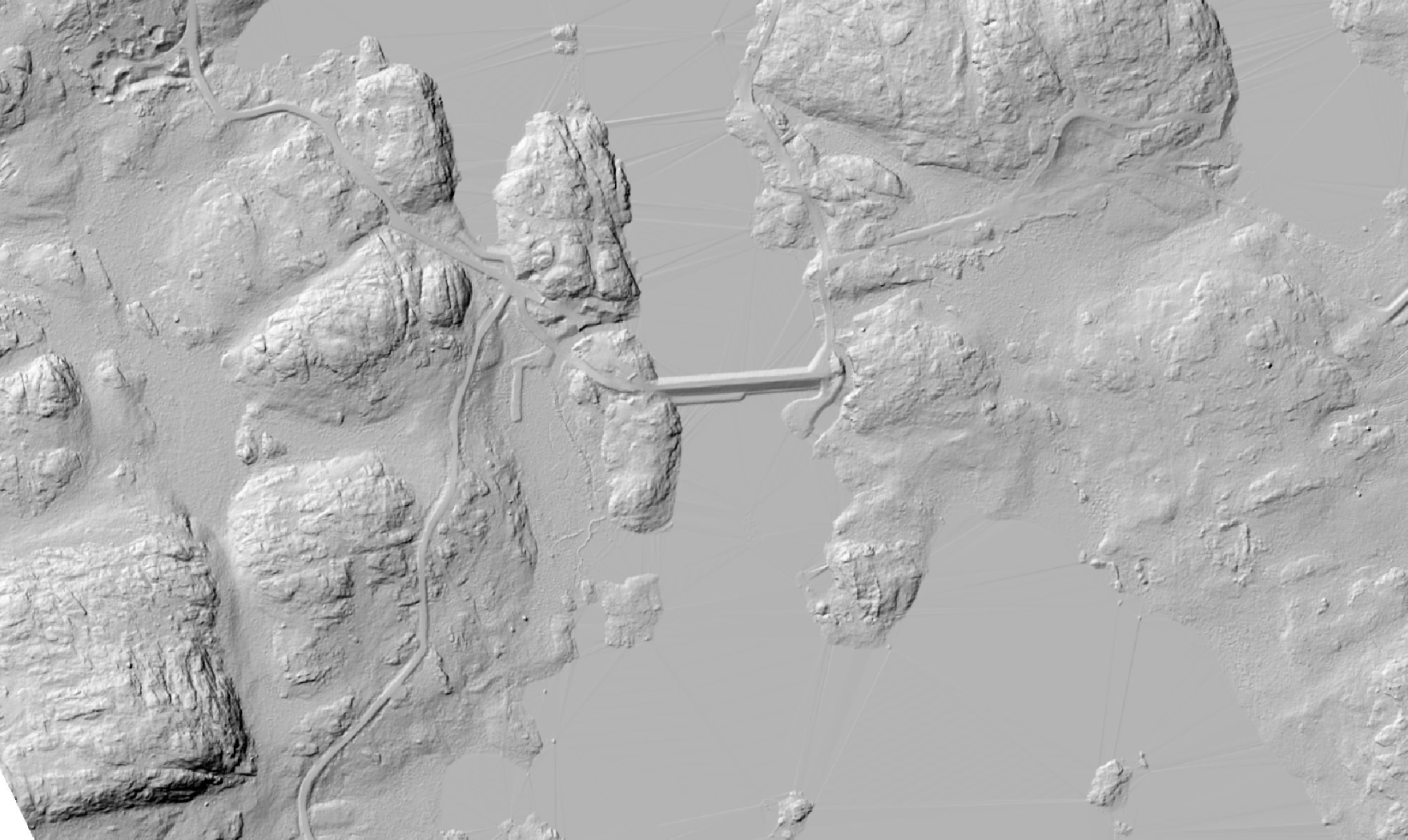
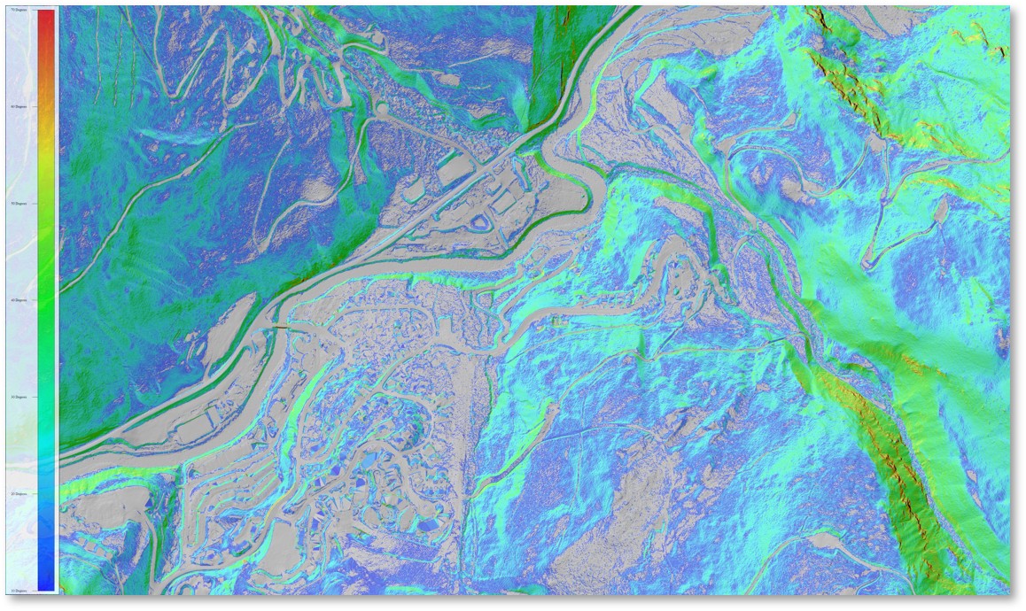
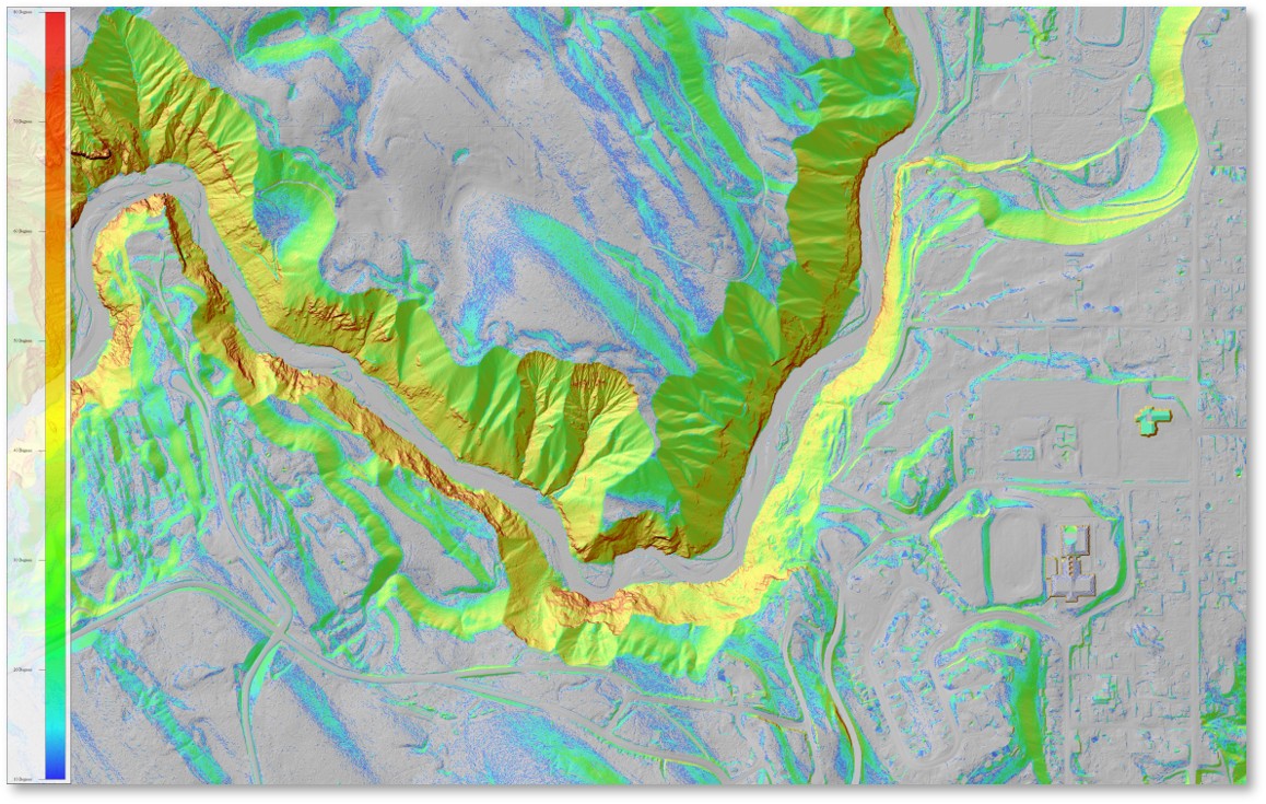
High-resolution Terrain Analysis
Multi-directional illumination of bare-earth terrain to reveal subtle structural geology, lineaments, faults, and alteration zones invisible to the naked eye or conventional mapping.
High-resolution LiDAR hillshades and topographic contours for engineering design, mine planning, permitting and volume calculations
Slope and aspect maps: derived from DTM these highlight terrain gradient and orientation, critical for geotechnical assessments, road and infrastructure planning, and identifying structurally controlled mineralization
Intensity through surface reflectivity data helps distinguish rock types, moisture content and disturbed ground
3D models and flythroughs for precise calculations of stockpile volumes, waste rock dumps, pit geometries, and tailings embankments
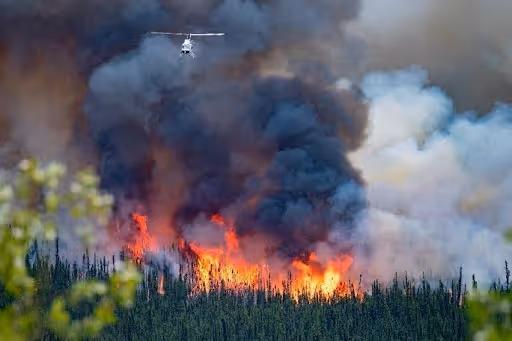
Wildfire Risk Mitigation for Mining Sites
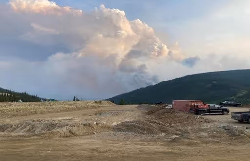
Mining operations face increasing exposure to wildfire due to remote locations, fire-prone landscapes, complex access/egress, and climate-driven extremes. Our wildfire programs integrate site-specific modeling, infrastructure risk assessment, fuels mapping, and operational readiness.
Comprehensive wildfire risk assessments — incorporating site weather, fuels, ecology, historic fire occurrence, and infrastructure layouts
Wildfire behavior modeling and fireshed analysis — identifying where fire may come from, how it will move, and which assets are at risk
Evacuation corridor analysis — improving egress, redundancy, and emergency supply line stability
Post-Wildfire Hazard Identification
Hazards don't end when the fire is out. Mining environments are especially sensitive to post-fire terrain instability. Using remote sensing detection we can identify things like:
Post-wildfire tree hazards
Mud, earth, and debris flows
Soil creep and permafrost melt
Flash flood and drainage impacts
Slope failures and lateral slides
Mine Planning Basemaps
High-density LiDAR and 4-band imagery create engineering-grade surfaces that support mine development, long-term operational planning and mine closure planning.
DEM and DTM
High-resolution orthophotos
Hyperspectral imagery
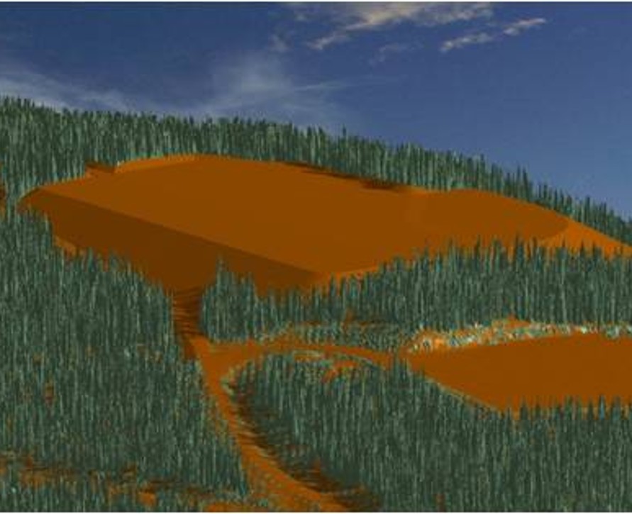
Tailings Design and Slopes
Repeat LiDAR detects settlement and erosion.
Change detection
Slope analysis
Monitoring
Frequently Asked Questions
Do you support engineering-grade accuracy for design and monitoring?
Yes, our LiDAR meets sub-10 cm vertical accuracy standards suitable for engineering applications.
Can wildfire risk assessments be integrated with our mine emergency plan?
Absolutely, our PPRR wildfire assessments, behavior models, and evacuation analyses align directly with mine emergency procedures.
Do you monitor tailings facilities?
Yes, repeat LiDAR reveals deformation, erosion, and slope changes around embankments.
.avif)
Ready to Scope Your Mining Program?
We align collection, analytics, and monitoring.