.svg)
Indigenous Nations
Indigenous‑Led Stewardship, Planning, and Land‑Based Decision Support
Forsite recognizes that every Indigenous Nation maintains a unique, enduring relationship with their lands and waters. Our work with Nations is grounded in respect, transparency, and an understanding that stewardship is cultural, intergenerational, and integral to self-determination and governance.
Forsite is honored to work alongside First Nations, Métis, Inuit, and Tribes across North America. In alignment with each Nation’s governance structures, rights, responsibilities, priorities and cultural values, we provide technical expertise, tools, and capacity to support stewardship, economic development, wildfire preparedness, and landscape-level planning.

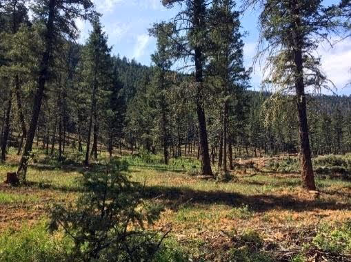
Forest and Landscape Stewardship
We recognize that every Nation has unique needs, and we support Nations to build capacity and achieve their identified goals, from landscape level planning to stand level program implementation.
Forest estate modeling and scenario analysis for carbon, climate, and harvest
GIS, mapping and analysis
Forest landscape planning
Integrated Resource Management Plans (IRMPs)
Forest Management Plans (FMP)
Integrated land‑use and cumulative‑effects planning
Best management practices
Compliance and assessment support, such as climate vulnerability assessments; watershed and hydrology assessments; habitat and biodiversity assessments; and recreation, access, and cultural-use mapping
LiDAR Collection, Processing and Analysis
High-density LiDAR produces accurate forest inventories and data analysis to support multiple areas of planning. It enables more informed decisions at every scale, from the landscape to stand levels, and delivers a level of planning accuracy that surpasses traditional methods.
High density LiDAR data allows Forsite to produce detailed individual tree inventories and vegetation analysis, including:
Tree species
Height
Crown structure
Health Indicators
At the landscape and stand level, LiDAR supports:
Forest operation planning
Road layout and design
Tenure and forest land valuation
Watershed restoration and resiliency planning
Restoration planning and project design
Cultural and prescribed burn planning
Post‑wildfire assessments
Fuels planning for wildfire mitigation
Stand assessments and invasive species mapping
Wildfire Risk Reduction for Communities
Forsite provides wildfire services across the full spectrum of Wildfire Management: Prevention, Preparedness, Response, Recovery (PPRR). Our proprietary tools use remote sensing and machine learning to rapidly update fuel type maps and provide detailed vegetation characteristics to support safer, more resilient planning.
Community wildfire resilience planning
Fuel assessments & mitigation strategies
Operational wildfire support
Evacuation route planning
Fire behavior modeling and fuel mapping
Training and community education
Funding application support
Community re-entry support
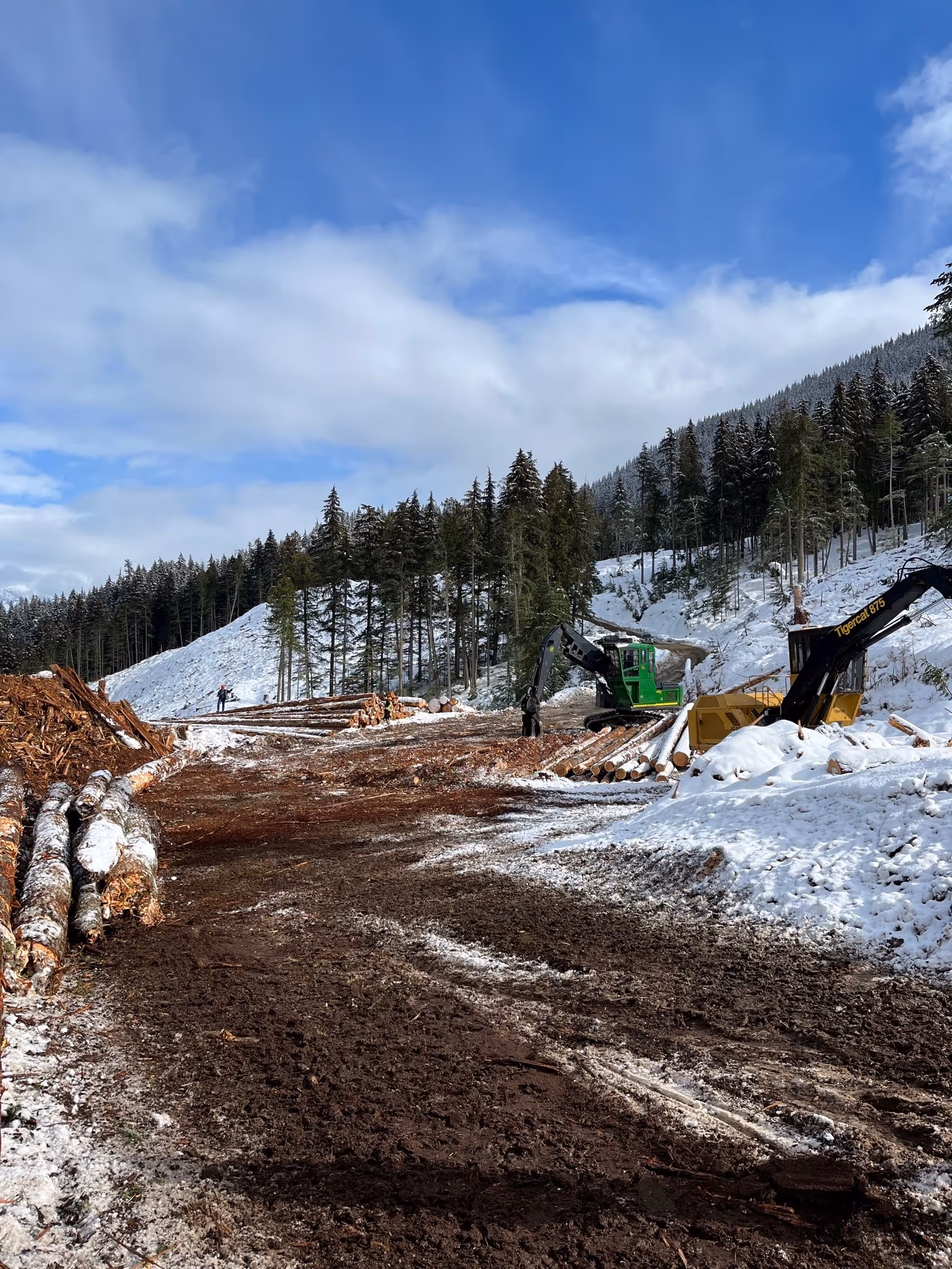
Timber Development & Operational Planning
Our forest professionals prepare and submit permitting packages for forestry and other resource sectors, across Indigenous and non-Indigenous lands.
Timber supply analysis
Operational planning and permitting
Market and valuation analysis
Forestry program development
Capacity‑building with stewardship team
Resource Assessments
Our goal is to support stand-level planning and prescription development that respects both ecological integrity and Indigenous knowledge.
We complete assessments related to:
Wildlife habitat
Hydrologic conditions
Riparian areas
Roads and infrastructure
Ecological features
Vegetation management
Other non-timber values, as guided by the Nation
Ecosystem Restoration & Resilience
We work with Nations to develop and implement ecosystem restoration prescriptions that include cultural practices and are guided by the Nation.
Watershed restoration and resiliency planning and project management
Restoration planning and project design, including post-wildfire restoration
Cultural and prescribed burning support
Post‑wildfire assessments- Stand assessments, invasive species mapping, fuel planning

Frequently Asked Questions
Do you support both strategic and operational planning?
Yes, our planning teams deliver end‑to‑end plans.
Can Forsite support Indigenous‑led stewardship programs?
Yes, in restoration, FLP, wildfire planning, and operations.
Do you deliver wildfire hazard assessments for permitting
Yes, including district‑ready reports and WUI threat assessments.
Do you provide geospatial products and modelling?
Yes, LiDAR, behavior modelling, VRM tools, and more.
We look forward to continuing to learn and grow alongside our Indigenous partners.
Read more about our commitments to Indigenous Partnerships.
.avif)