.svg)
Forest & Landscape Stewardship
Science‑driven Strategies, On‑the‑ground Expertise, a Collaborative and Values‑driven Approach for Resilient Forests, Communities, and Ecosystems.
Forsite supports clients across North America with integrated forest stewardship solutions that balance ecological integrity, economic objectives, regulatory requirements, and community values - recognizing the deep relationships that Indigenous Nations, communities, and rights holders maintain with their territories. Our teams combine advanced data, modeling, and field expertise to guide long‑term, defensible decision‑making.

Comprehensive Forest & Landscape Stewardship Services
Forsite delivers end‑to‑end stewardship services - from land‑base intelligence and strategic planning through implementation and monitoring.
200
Planning specialists across offices.
14
Regional offices supporting local policy contexts.
Multidisciplinary teams with experience across wildfire, planning, forestry, and ecosystem management
Collaborative project delivery with Indigenous Nations, governments, communities, and industry partners
Geospatial and analytics platforms providing continuous, accurate, and high-resolution insights
Integrated Capabilities for Forest Stewardship and Community Resilience
We work alongside clients to deliver integrated expertise across stewardship, assessment, restoration, and resilience.
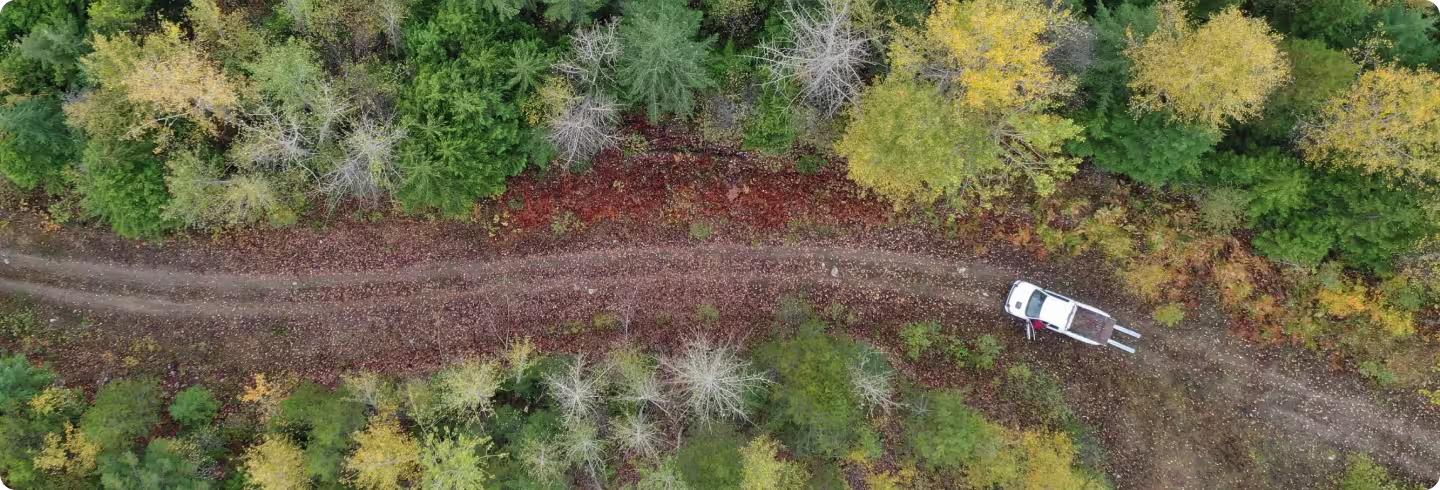
Landscape-Level Forest Stewardship
We help clients balance fiber production, ecosystem health, and long‑term risk.
Forest landscape planning (FLP)
Planning facilitation for diverse stakeholder groups
Timber supply and scenario analysis
Climate, harvest, carbon, and risk modeling
Watershed and hydrology assessments
Habitat, biodiversity, and ecosystem‑integrity evaluations
Recreation and access‑planning support
Land‑base constraints reporting (ECA, visuals, wildlife, riparian)
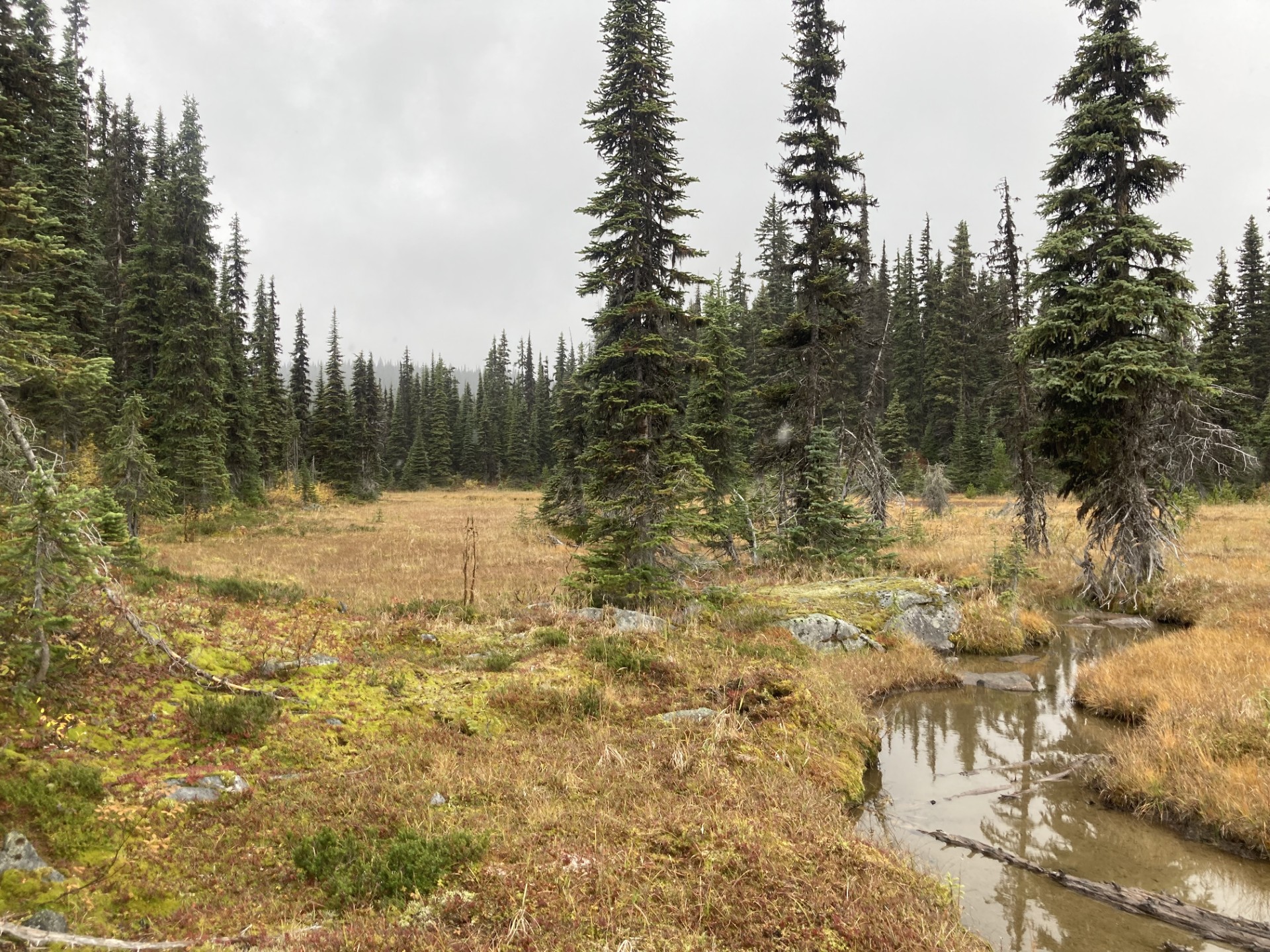
Resource Assessments
Our goal is to support stand-level planning and prescription development that respects both ecological integrity and Indigenous knowledge.
Wildlife habitat
Riparian areas
Ecological features
Hydrologic conditions
Roads and infrastructure
Vegetation management
Other non-timber values, as guided by the Nation
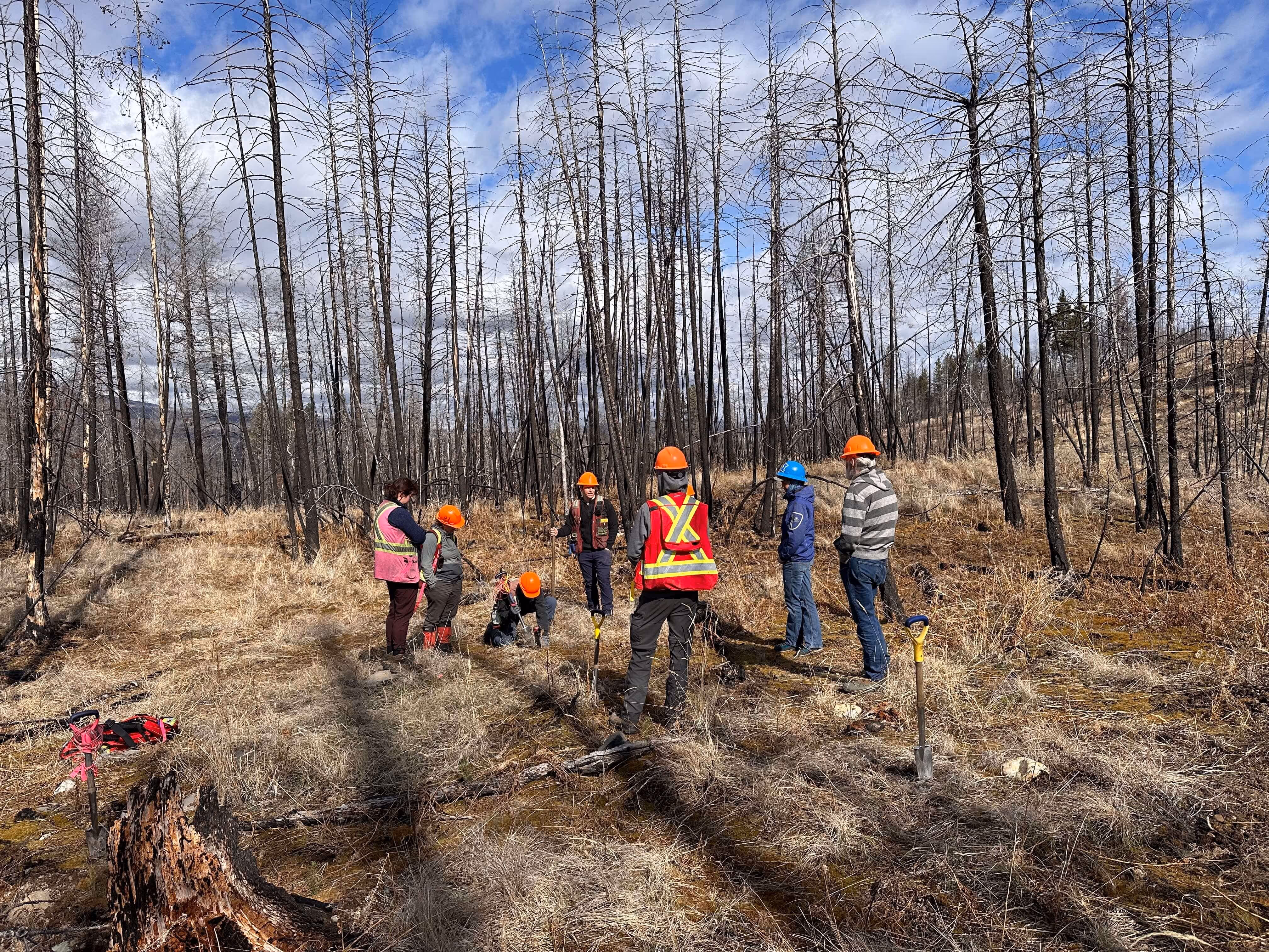
Ecosystem Restoration & Resilience
Supporting healthier, more resilient forests through targeted restoration programs.
Ecosystem restoration strategy and project planning
Cultural and prescribed burning support
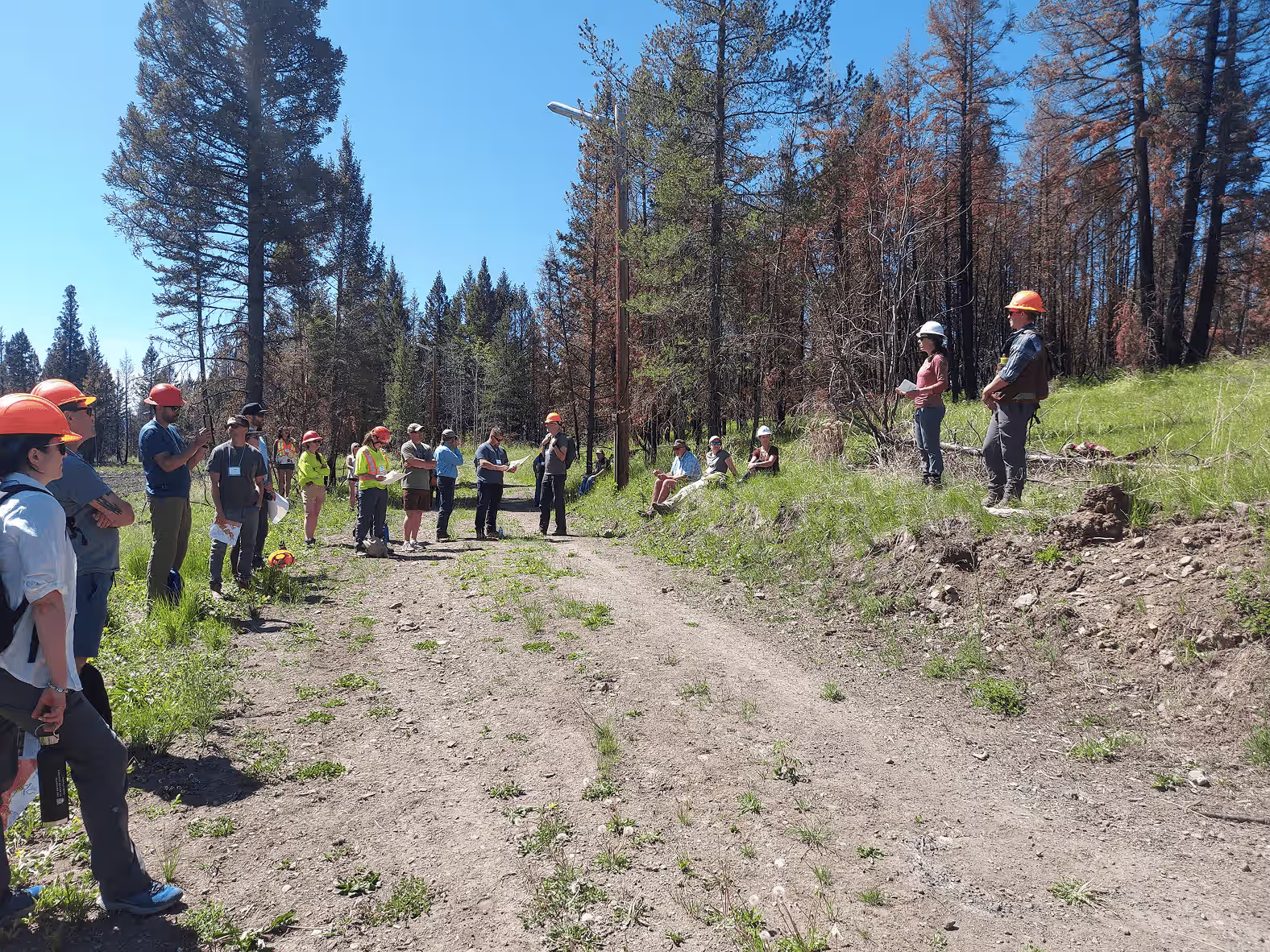
Post‑wildfire hazard identification and community re‑entry assessment
Invasive species and stand‑condition mapping
Fuel treatment planning and prioritization
Planning & Policy
Strategic planning, defensible analysis, and policy alignment remain core components of our stewardship services.
Strategic and operational forest management plans
Regulatory‑aligned planning and reporting
Climate‑risk and cumulative‑effects assessments
Visual resource management (VRM)
Governance and program development for community forests
Economic and timber/land valuation analysis
Stakeholder, community, and public engagement support
LiDAR Collection, Processing and Analysis
High-density LiDAR produces accurate forest inventories and data analysis to support multiple areas of planning. It enables more informed decisions at every scale, from the landscape to stand levels, and delivers a level of planning accuracy that surpasses traditional methods.
High density LiDAR data allows Forsite to produce detailed individual tree inventories and vegetation analysis, including
Forest operation planning
Road layout and design
Tenure and forest land valuation
Watershed restoration and resiliency planning
Restoration planning and project design
Post‑wildfire assessments
Fuels planning for wildfire mitigation
Stand assessments and invasive species mapping
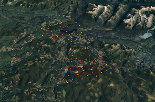
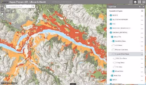
Geospatial & Decision-Support Tools
Forsite’s platforms bring accuracy, speed, and confidence to planning and stewardship decisions.
ForestView® & FireView™
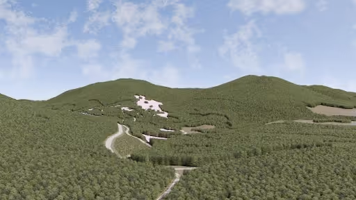
Visual assessments & ForView – Visual Resource Management Platform
Our team of visual resource management (VRM) experts can help you to incorporate visual landscape design principles into your operational and strategic planning.
Frequently Asked Questions
Do you support both strategic and operational planning?
Yes, our planning teams deliver end‑to‑end plans.
Can Forsite support Indigenous‑led stewardship programs?
Yes, in restoration, FLP, wildfire planning, and operations.
Do you deliver wildfire hazard assessments for permitting?
Yes, including district‑ready reports and WUI threat assessments.
Do you provide geospatial products and modeling?
Yes, LiDAR, behavior modeling, VRM tools, and more.
.avif)
Ready to Build a Strong Stewardship Strategy?
Let’s design your long-term forest and landscape stewardship program.