
.svg)
forestry
Forest Management Consulting: Inventory, Analytics, Planning and Operations Across the Full Timber Cycle
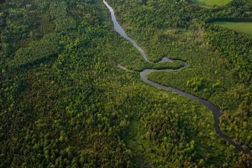
Forsite provides end-to-end forest management consulting: digital inventories powered by ForestView®, forest analytics and estate modeling, planning and policy support, on-the-ground operations, reforestation programs, environmental permitting, and operational wildland fire services. One company, for the full cycle.
Proven in the Field
Scalable Delivery.
Measurable Outcomes.
These numbers reflect the depth of Forsite's forestry practice, built over decades of field work.
Projects completed in 9 provinces and 29 states
3000
clients served
1.1-3M
SEEDLINGS/YEAR
Reforestation program delivery capacity
Billions of trees measured with LiDAR
325
STAFF
Across 15 regional offices in Canada and the United States
Core Forestry Capabilities
From digital inventory to reforestation delivery, Forsite's forestry capabilities cover the complete management cycle.
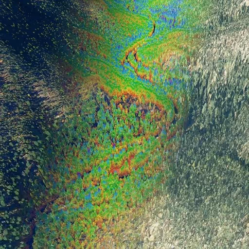
ForestView® Digital Inventories
We integrate LiDAR, imagery, and ground plots to deliver stand and tree-level intelligence — species, height, diameter, log products, biomass and carbon — with known error estimates, usable for both operational decisions and strategic planning.
Tree-level attributes across entire landbase
Enhanced harvest design planning
Detailed economic assessments
Biomass, carbon and biodiversity assessments
Forest Analytics and Estate Modeling
Forest estate modeling, growth and yield, GIS analysis of land base conditions, climate vulnerability, carbon, and economic analyses.
Forest management scenario modeling / optimization
Stand development forecasting including treatment responses
Assessment of non-timber values including wildlife habitat, old growth and carbon outcomes
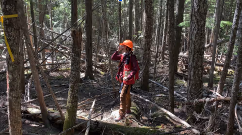
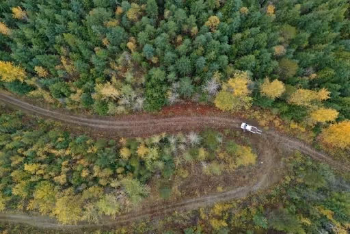
Forest Operations
From block and road layout and steep-slope feasibility to cruising and appraisals and full-phase reforestation programs, our field teams execute safely and efficiently.
Optimized layouts to reduce costs and increase harvest efficiency
Accurate assessments for compliance and value
Effective reforestation and liability management
Harvest supervision and log brokering
Stewardship, Planning and Policy
Forest management plans, access management planning, climate risk assessments, 3D rendering of landscape change, and facilitation that meet regulatory requirements and align organizational objectives with community values.
Strategic planning and policy solutions for long-term forest stewardship
Climate and cumulative effects decision support
Visual assessments and landscape design
Forest (Tenure) and Private Land Management
Whether individual specialty services or full program management solutions, we are focused on client service and value. From due diligence around fibre supply and feasibility, planning, operations, and management, we bring demonstrated capacity and capability in successful forest, log, and timber businesses.
Fiber supply and feasibility
Planning, operations and management
Individual specialty services
Log sales / brokering
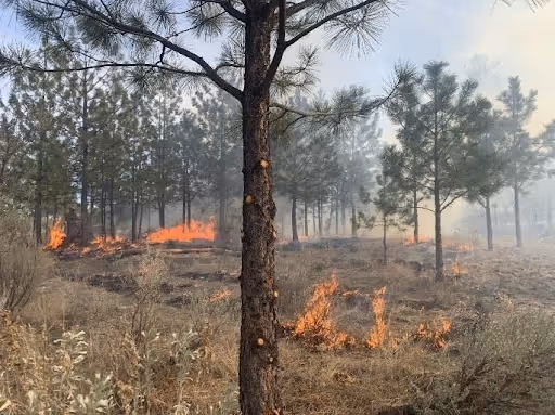
Operational Wildland Fire
Uniquely qualified in wildland fire management, our team draws upon their on-the-ground fire experience and professional forestry credentials to provide sound advice and solutions to clients seeking to increase their resilience to wildfire.
Community resilience
Prescribed fire and fuel management
Development permitting
Ecological restoration
Experts in This Industry
How can we support your needs?
ForestView®
Digital inventory from tree to landscape.
Tree/stand metrics
Growth & yield
Polygon inventories
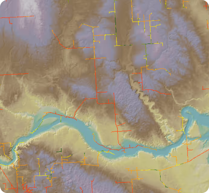
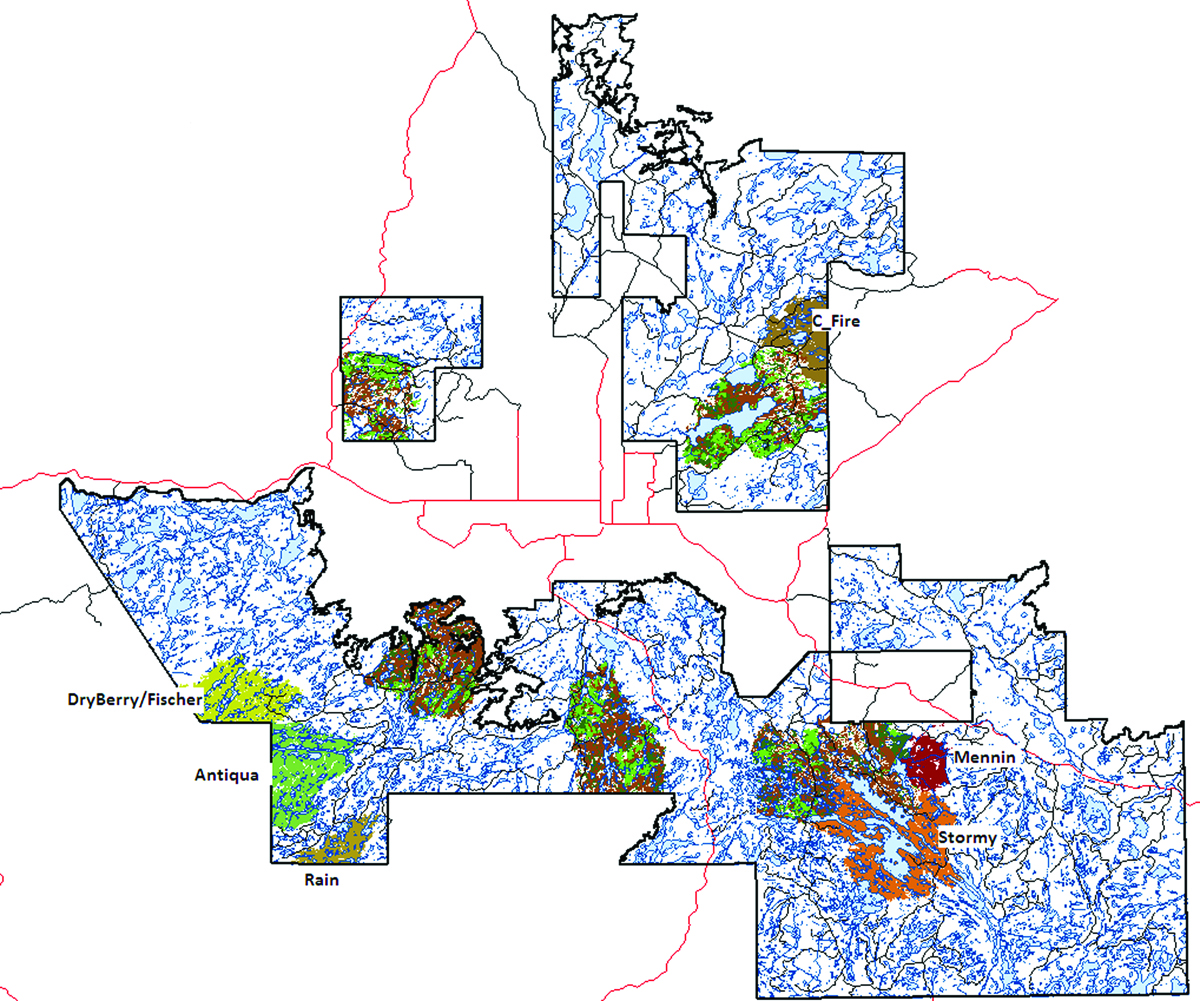
FireView™
Fuels & Risk Assessments
Fuel ID layers
Fire spread simulations
Risk mitigation treatments
Frequently Asked Questions
Do your polygon inventories meet government submission requirements?
Yes. ForestView® polygon inventories are aggregated from enhanced tree-level and stand-level data and formatted to meet provincial government submission standards. We have delivered government-accepted polygons across multiple jurisdictions in western Canada.
Can ForestView® integrate with our growth and yield (G&Y) models?
Yes. ForestView® products are designed for G&Y integration. Outputs include the stand-level attributes that G&Y models require — species composition, height, age, site index, and volume by product class. We can deliver in the format your modeling platform requires.
Do you provide field services in my location?
Forsite operates across 9 provinces and 29 states through 15 offices in Canada and the United States. Whether your operations are in Canada, the US Pacific Northwest, or beyond, our field teams are positioned to support inventory, cruising, reforestation, and harvest supervision on the ground.
How accurate is your LiDAR-based forest inventory data?
ForestView® integrates LiDAR, aerial imagery, and ground plots to produce stand- and tree-level attributes with known error estimates — so you understand exactly what confidence to place in each data layer. This level of statistical transparency is built to hold up at timber supply reviews and for use in strategic planning, carbon reporting, and economic assessments.
Can Forsite support our carbon and climate objectives alongside traditional timber goals?
Yes. Our forest analytics and estate modeling capabilities include carbon assessments, climate vulnerability analysis, and biodiversity evaluations alongside standard growth and yield work. ForestView® delivers biomass and carbon metrics at the tree and stand level, and our planning team can model scenarios that balance timber supply with carbon and other non-timber values across your entire land base.
.avif)
Ready to Improve Forest Performance?
Let's design your inventory and delivery plan.